Digital Land
Become a land licensor via the Geo Web Cadastre: https://geoweb.land/
The Geo Web's is composed of unique digital land parcels that map to physical locations on Earth's surface (Maybe we'll add the moon & Mars eventually...).
Geo Web digital land parcels are non-fungible tokens (NFTs). They confer the bearer the exclusive right to anchor digital content within the parcel's boundaries on the network. The system creates the augmented reality counterpart to physical land property rights.
You can think of publishers on the Geo Web like digital real estate developers. They can augment their existing physical spaces or create something completely new.
Publishers that create compelling experiences on Geo Web land can create "real" economic value by attracting visitors to their offline business and offering unique virtual offerings/services. A Geo Web digital land presence can become an assumed complement to any business just as a web and social presence are today. We use a novel economic system to help ensure that the most productive licensors can attain these rights in the free market.
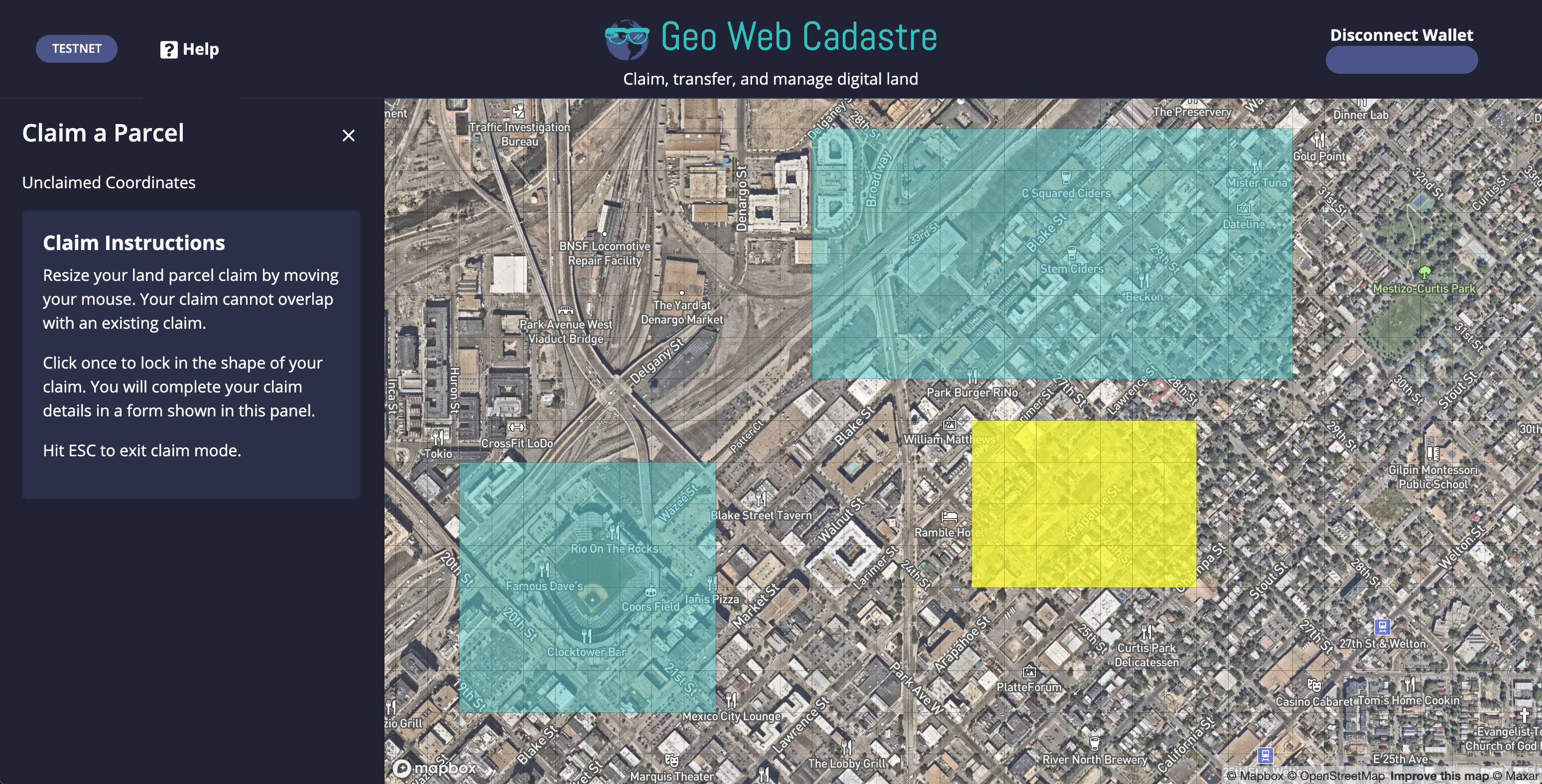
The shape and size of each land parcel are defined as a continuous path of Geo Web Coordinates (~24 m² rectangle tiles created by a global grid system). Two digital land parcels cannot contain the same Geo Web coordinate (i.e. they cannot overlap). Land parcels can only contain a contiguous set of Coordinates (i.e. a parcel cannot be two or more separated sections).
Land parcel boundaries on the Geo Web are defined by users during the initial claim. While not currently enabled, users will be able to split, combine, & burn land parcels under their control to suit the needs of an evolving world.