Cadastre
A cadastre is a register of property showing the extent, value, and ownership of land.
The Geo Web Cadastre is the graphical user interface that serves that role for the Geo Web network. It can be thought of something like a combination of a domain name registrar (e.g. GoDaddy) and a content management system (e.g. WordPress). It integrates with the network's core infrastructure to make Geo Web land administration and content publishing accessible to non-technical users.
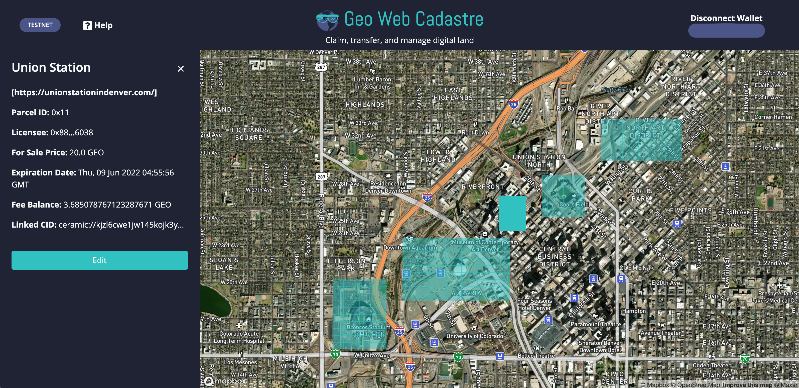
The Cadastre allows users to claim, transfer, and manage digital land parcels via a global map view. It integrates with popular Web3 wallet providers, so that users can manage their assets and transact without creating a "Geo Web account." Transactions include changing a parcel For Sale Price, claiming new parcels, and placing/responding to parcel bids.
The Cadastre currently offers basic publishing functionality. Landholders can name/rename their parcels. They can link web content via URI (http://, https://, ipfs://, & ipns://) to their parcels. They can also anchor digital content (image, audio, video, and 3D objects) to a structured media gallery. When Geo Web users visit the land parcel in the real world with Spatial Browser, they discover this published content.
The Geo Web Cadastre is not intended to be the exclusive interface for interacting with the Digital Land Registry, just the first. A portion of network funds generated by the partial common ownership system will be allocated to market development of better, differentiated registration and content management offerings.